.png?63dbcfb5)
.png?63dbcbe8)

Kamenná prodejna
v Praze

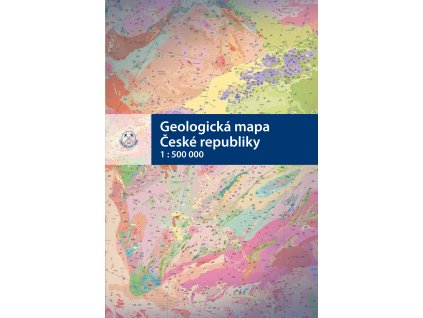
Nabídka geologických map

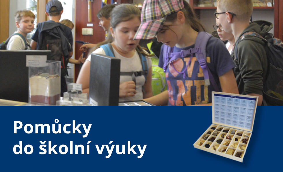
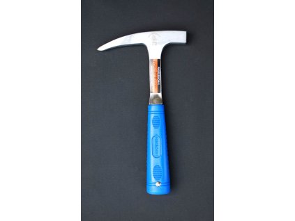
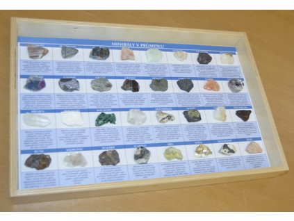
Nabídka geologických potřeb

Vstřícné jednání
Ke každému zákazníkovi
Doporučujeme


Nejprodávanější


14,88 Kč bez DPH
18 Kč
Laboratorní a archivační, skleněná lahvička pro uchování kapalin a sypkých materiálů. Lahvičky jsou vhodné pro archivaci těžkých minerálů, mikrofosílií, a ostatních...


_(1).png?636a0a46)
Vítejte v našem obchodě
Česká geologická služba je největším vydavatelem geologické literatury v České republice.
E-shop nabízí nejnovější publikace, mapy a periodika z produkce ČGS i publikace s geologickou tematikou z jiných nakladatelství.
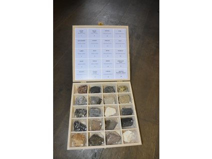
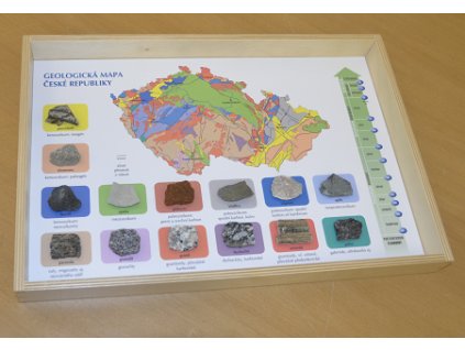
Veškerý sortiment je dostupný v Geologickém knihkupectví v centru Prahy (Klárov 3), které navíc nabízí doplňkový sortiment, jako jsou šperky z polodrahokamů, mineralogické a paleontologické vzorky nebo tromlované kameny.
Otevírací doba: Úterý až pátek: 10-12, 12.30-15.30.